
By Name in a Mapping App
Search "London Stansted Airport" in Google Maps, Apple Maps, Waze, or any standard mapping application. It's a well-established point of interest that appears as a recognised destination.

Get Instant Quote: taxi fare calculator
London Stansted Airport is in north Essex, not Greater London — approximately 35 miles northeast of Central London, near the village of Stansted Mountfitchet, on the M11 (Junction 8) and the A120. Its postcode is CM24 1RW.
The "London" in its name is a commercial designation shared by several airports serving the capital's travel market — Heathrow, Gatwick, Luton and Southend all do the same. This guide covers the exact address, postcode, road access, and how far it is from London and other major locations. Fixed-fare transfers from any address to Stansted from Stansted Airport Taxi, a TfL-licensed private-hire operator. Reviewed September 2026.
Official address: London Stansted Airport, Bassingbourn Road, Stansted, Essex, CM24 1RW, United Kingdom. County: Essex (Uttlesford district). Main road access: M11 motorway (Junction 8), then the A120 to the airport entrance.
To drive there, enter CM24 1RW or "London Stansted Airport" into your navigation system and confirm the destination shown before setting off. On approach, follow the brown and white airport road signs from the M11 Junction 8 roundabout.
If you're heading to a specific facility — a particular car park, the drop-off zone, or the pick-up area — use that facility's specific postcode or name where one is available, rather than the general airport postcode, since different zones can sit at different points on the airport road network.
Every key fact in one place.
| Information | Details |
|---|---|
| Airport name | London Stansted Airport |
| Location | Stansted, Essex, England |
| County | Essex (Uttlesford district) |
| Full address | Bassingbourn Road, Stansted, Essex, CM24 1RW |
| Postcode | CM24 1RW |
| Is it in London? | No — it is in Essex. "London" is the commercial name only. |
| Direction from London | Northeast of London |
| Distance from Central London | Approximately 35 miles straight line; 38–42 miles by road |
| Main motorway junction | M11 Junction 8 |
| Main road | A120 (from M11 Junction 8 to airport) |
| Nearest town | Bishop's Stortford (~3 miles north, Hertfordshire) |
| Navigation input | "London Stansted Airport" or postcode CM24 1RW |
What is the postcode for Stansted Airport?
CM24 1RW — the standard postcode for the main passenger terminal, recognised by any sat-nav or mapping application.
Is Stansted Airport actually in London?
No. It's physically in Essex, in the Uttlesford district. "London" is a commercial name shared by several airports serving the capital's travel market — it doesn't reflect the airport's geographic location.
How far is Stansted Airport from Central London?
Approximately 35 miles in a straight line, or 38 to 42 miles by road via the M25 and M11 — journey time roughly 50 to 70 minutes off-peak.
What roads lead to Stansted Airport?
The M11 motorway (Junction 8) and the A120. The M25 connects in via Junction 27 (Epping) for traffic coming from London, Heathrow, Gatwick or the west.
What should I enter into my sat-nav?
Either "London Stansted Airport" by name, or the postcode CM24 1RW. Confirm the destination shown matches Stansted Airport in Essex before starting your journey.
What county is Stansted Airport in?
Essex — specifically the Uttlesford district in the north of the county, close to the Hertfordshire border.

The geography, and the "London" naming question addressed directly.
Stansted Airport sits in the Uttlesford district of Essex, in the east of England, between the M11 motorway to the west and the A120 road to the south, roughly 2 miles west of Stansted Mountfitchet village. It lies roughly equidistant between London to the southwest and Cambridge to the north. The immediate surroundings are rural north Essex countryside — the nearest town of meaningful size is Bishop's Stortford in Hertfordshire, about 3 miles north, just across the county boundary. Other nearby settlements: Stansted Mountfitchet (~2 miles northeast), Takeley (~1 mile west), Great Dunmow (~7 miles east), and Sawbridgeworth (~5 miles northwest).
Is Stansted Airport in London? No. It's physically in Essex, with no shared administrative boundary with Greater London. The "London" prefix is a marketing convention adopted by several airports serving the London metropolitan travel market — Heathrow, Gatwick, Luton, Southend and Stansted all use or have used "London" in their names for exactly this reason, regardless of their actual county location. For navigation and postal purposes, Stansted is in Essex. For flight and travel purposes, it's commonly described as a London airport — two different uses of the word that shouldn't be confused.
What county is it in? Essex — specifically the Uttlesford district. The airport is close to the Hertfordshire border (Bishop's Stortford, the nearest substantial town, is in Hertfordshire), but the airport site itself is in Essex. For address, postcode and administrative purposes, Essex is the correct county.
Where is it relative to London? To the northeast — in the direction of Cambridge and the east of England, not north like Luton, west like Heathrow, or south like Gatwick. The straight-line distance from Central London is approximately 35 miles, though the road distance is somewhat longer and depends on the specific route and starting postcode — south London is considerably further from Stansted than east or north-east London.
The full official address, and how to use it for navigation versus post.
Full official address: London Stansted Airport, Bassingbourn Road, Stansted, Essex, CM24 1RW, United Kingdom — this is the address for the main passenger terminal. If you're navigating to a specific car park, pick-up zone or other facility, that facility may have a different postcode or navigation reference — confirm the correct destination before setting off.
Postcode: CM24 1RW is the primary postcode, covering the main terminal area and the standard input for sat-nav or mapping when your destination is the terminal building. CM24 is a postcode district covering Stansted Mountfitchet and the airport area in north Essex. When you enter it, confirm the result shown on screen matches the airport before beginning navigation.
What address should you actually use? For most navigation, either the postcode CM24 1RW or the name "London Stansted Airport" correctly identifies the destination — Google Maps, Apple Maps and Waze all recognise the airport by name as well as postcode. If you're heading to a specific part of the airport — a named car park, the drop-off zone, the pick-up area, or the train station — enter that facility's name or postcode where available, rather than the general airport address, so navigation directs you to the correct area rather than just the main terminal entrance. For postal correspondence, use the full official address above.
For sat-nav entry specifically: search "London Stansted Airport" by name, or enter CM24 1RW. Either method directs to the main terminal area in most systems — confirm it shows Stansted Airport in Essex (not another airport or similarly-named location) before confirming the destination. If prompted for a choice, select the one identified as "Stansted Airport, Essex" or "CM24." For car park navigation, a pre-booked car park's confirmation should include the postcode or navigation instructions for that specific zone.
Four ways to find it, and the step-by-step driving sequence.
Search "London Stansted Airport" in Google Maps, Apple Maps, Waze, or any standard mapping application. It's a well-established point of interest that appears as a recognised destination.
Enter CM24 1RW into any sat-nav or mapping application. This resolves to the main terminal area.
Enter Bassingbourn Road, Stansted, Essex where more specific input is needed than a postcode alone.
From the M11, airport signs appear well in advance of Junction 8. From the A120, signs direct to the airport from both east and west. Follow the brown and white airport direction signs on approach.

A six-step sequence, plus the reasons your specific route may differ from someone else's.
Allow time for traffic on the M25 (approaching from south or west London), the M11, and local roads near the airport — check current conditions before departure, particularly for early-morning or peak-hour journeys.
Approaching from different directions: from London, join the M11 from the M25 at Junction 27 (Epping) and travel northbound — the airport is about 8 miles north of the M25 junction; exit at Junction 8 and follow signs on the A120. From the east (Colchester, Chelmsford, Braintree), travel westbound on the A120 directly to the airport, which the road passes on its southern side. From the north (Cambridge), travel southbound on the M11 and exit at Junction 8 — the airport is about 25 miles south of Cambridge.
Leaving the airport: once in your vehicle, set your onward destination in the navigation system, exit the airport road network following signs for the M11 or A120, then take the M11 north (Cambridge) or south (M25 and London) — or continue east on the A120 for Essex destinations. Pre-booked private-hire passengers have this handled by their driver; hire-car passengers should follow internal airport signs to the rental return and hire-car bays before setting a destination in the vehicle's own navigation.
Why your directions can vary: your starting location (different postcodes produce different optimal routes — even within London, a passenger in east London takes a different route than one in south-west London), route selection (different navigation apps or algorithms may suggest different roads), traffic conditions (M25, M11 or A120 congestion can significantly affect journey time and cause rerouting — real-time traffic routing beats a pre-planned static route), roadworks and closures (temporary restrictions can alter the recommended route on any given day), and time of travel (the M25 in particular adds substantial time during morning or evening peaks).
The three main roads, and the sequence for approaching from each direction.
M11 motorway — the main corridor connecting Stansted to London and the wider motorway network, running from the M25 at Junction 27 (near Epping) to Cambridge. Junction 8 is the primary airport junction, roughly 8 miles north of the M25 interchange. A120 — an east-west trunk road passing the airport on its southern side, connecting to Bishop's Stortford in the west and Great Dunmow, Braintree, Colchester and the port of Harwich in the east; the airport entrance road connects directly from it. M25 — doesn't serve Stansted directly, but connects to the M11 at Junction 27 (Epping), providing access from Heathrow, Gatwick, south London and the west.
From the M11 Junction 8 roundabout, brown and white airport direction signs sit at each exit, remaining consistent through the approach roads and into the airport site. Beyond the M11 and A120, the M11 also connects the airport to the M25 orbital and onward to Cambridge and Huntingdon; the A120 connects eastward to Colchester and the Essex coast, and westward to Bishop's Stortford and the A10 toward Hertfordshire; the B1256 provides a local connection to Takeley and Dunmow; the A1250 links the approach to the Bishop's Stortford road network. These connections mean passengers from east Essex or north Hertfordshire can reach the airport without joining the motorway at all.
Driving from London, the standard route follows the M11 northbound from the M25 at Junction 27 near Epping — the airport is about 8 miles further north, reached via Junction 8 and the A120. Driving distance from Central London is approximately 37 to 42 miles, with journey time in normal conditions approximately 45 to 70 minutes, significantly longer during peak-hour congestion.
The route genuinely differs depending on where in London you start.
Central London. The standard route heads northeast via the M11. Drivers from the City, Westminster, Islington or Camden typically route through east or north London, join the North Circular (A406) or other orbital roads, then reach the M11 or A11 to connect with the M25 at Junction 27 before heading north on the M11 to Junction 8. Approximate road distance from Central London (Charing Cross reference) is 38 to 42 miles; journey time in normal off-peak conditions is approximately 50 to 70 minutes.
North and east London. These areas have more direct road access to the M11 corridor, making Stansted one of the most accessible major airports for passengers starting here. From east London (Ilford, Barking, Stratford, Hackney), the A12 and A11 connect toward the M25 and M11 northbound, with a shorter road distance and a shorter M25 section to cover. From north London (Islington, Hackney, Enfield), the A10 or A1 corridors connect toward the M25 and M11 — again more direct than from west or south London.
South and west London. The most complex road journey. From south London (Croydon, Southwark, Lewisham, Brixton) and west London (Kensington, Hammersmith, Ealing), the route requires crossing or navigating around central London before joining the M25, then the M11. From south London, the most common route is north through the city or via the Blackwall Tunnel and A12, then onto the M25 at Junctions 28 or 29, before joining the M11 northbound. From west London, the route typically involves the M4/M25 to Junction 27 then the M11 — the M25 section between Junctions 15 and 27 is one of the busiest stretches of motorway in the UK and can significantly extend journey time during peak periods.
Why directions vary so much across London: starting postcode (a passenger in Ilford has a substantially shorter journey than one from Clapham — within London, distances and times can differ by 30 to 45 minutes between the nearest and furthest starting points); road selected (via the M11/M25 directly, or via the A10 and an M11 bypass, depending on navigation settings and traffic — both are valid, with the optimal choice depending on conditions at the time); traffic at the time of travel (the M25 between Junctions 12 and 27 is heavily congested during weekday peaks, roughly 07:00–09:30 and 16:30–19:00); and navigation settings (different providers use different routing algorithms and may recommend different roads even from the same starting point).
Straight-line versus road distance, and why "London" isn't a single point.
The straight-line distance from Central London (approximately Charing Cross) is approximately 33 to 35 miles (53 to 56 km). The road distance via the M25 and M11 is approximately 38 to 45 miles (61 to 72 km), depending on the exact starting point and route.
| Starting area | Approximate road distance to Stansted |
|---|---|
| Central London | 38–42 miles |
| East London (Ilford, Stratford) | 28–33 miles |
| North London (Islington, Hackney) | 33–38 miles |
| West London (Kensington, Ealing) | 45–52 miles |
| South London (Croydon, Brixton) | 50–58 miles |
Distances are approximate and depend on the specific origin postcode and route. Use a current mapping application for a precise distance from your address.
Why the distance varies: your starting location determines the base distance and route; your destination point within the airport (terminal, a specific car park, the drop-off zone) can slightly affect the odometer reading; the route selected by navigation (motorway versus A-road) produces different distances for the same journey; and road closures or diversions may require a longer alternative route.
How long does it actually take to drive? Off-peak from Central London: approximately 50 to 70 minutes. Peak hour (morning/evening) from Central London: approximately 75 to 120 minutes or more. From east London off-peak: approximately 40 to 55 minutes. From south or west London off-peak: approximately 70 to 90 minutes; at peak hour: 90 to 120+ minutes. These are indicative — for an accurate current ETA from your specific address, use a live navigation application before departure, and don't rely on off-peak estimates for a peak-hour journey.

Distance and typical driving time from key nearby cities and towns.
Cambridge is approximately 30 miles (48km) north of Stansted on the M11 corridor — by road via the M11 southbound, approximately 30 to 45 minutes in normal conditions, making it one of the closest major cities and a natural departure point for Cambridgeshire passengers. Chelmsford, the county town of Essex, is approximately 20 miles (32km) southeast, via the A130 and A120, approximately 25 to 40 minutes — typically the closest major airport for mid-Essex passengers. Colchester is approximately 35 to 40 miles (56–64km) east via the A120, approximately 40 to 55 minutes, with the A120 providing a relatively direct east-west connection.
| Location | Approximate distance | Approximate driving time (off-peak) |
|---|---|---|
| Bishop's Stortford | 3 miles | 8–12 minutes |
| Stansted Mountfitchet | 2 miles | 5–8 minutes |
| Cambridge | 30 miles | 30–45 minutes |
| Chelmsford | 20 miles | 25–40 minutes |
| Colchester | 38 miles | 40–55 minutes |
| Central London | 40 miles | 50–70 minutes |
| Luton | 28 miles | 35–50 minutes |
| Oxford | 75 miles | 80–110 minutes |
| Watford | 40 miles | 45–65 minutes |
All figures are approximate and subject to road and traffic conditions. Use a live mapping application for current journey estimates.
Five steps using your device's location, plus why two people can get two different routes.
Three inputs reliably resolve to the correct location: the airport name ("London Stansted Airport"), the full address (Bassingbourn Road, Stansted, Essex, CM24 1RW), or the postcode (CM24 1RW). For a specific facility within the airport, enter that facility's name or postcode where available. Once set, your mapping app displays current distance, estimated arrival time based on current traffic, alternative routes with their own distances and ETAs, and traffic alerts along the recommended route — live navigation beats a pre-planned estimate, since conditions change throughout the day.
Why your route may differ from someone else's: different starting points produce different routes; local congestion at each person's location affects what the algorithm recommends; route preferences (avoiding motorways or tolls) change the routing; different navigation providers (Google Maps, Apple Maps, Waze) use different datasets and algorithms and may recommend different roads from the same starting point; and traffic conditions change continuously, so a route checked 20 minutes earlier may not reflect the current optimal path.
What to enter, and what to double-check before you set off.
For dedicated sat-nav devices, the most reliable input is the postcode CM24 1RW, recognised by most devices and resolving to the airport terminal area. Alternatively, search by name — "London Stansted Airport" — if your device supports point-of-interest searching; many modern sat-navs include airports as pre-loaded points of interest.
The postcode CM24 1RW is appropriate when travelling to the main terminal drop-off zone, the general airport site without a specific facility destination, or using an older sat-nav without airport name search. For car park navigation, check your booking confirmation for the specific car park postcode, since different zones may have slightly different postcodes or access roads.
Searching by name, use the full "London Stansted Airport" rather than just "Stansted Airport" to avoid ambiguity with the village of Stansted Mountfitchet or other nearby locations sharing the name. Google Maps, Apple Maps, Waze and TomTom all have the airport indexed as a known location with the correct address and marker.
Before setting off, verify: the correct airport (confirm the result shows Stansted Airport in Essex, not Luton, Heathrow, Gatwick or London City — all London-area airports that could appear in a search); the correct facility (if heading to a named car park or specific pickup/drop-off zone, confirm the destination shows that facility, not just the general airport); and the current route (review the suggested route and ETA before setting off, particularly for early-morning or peak-hour journeys where traffic may have changed since you first checked).
The address gets you to the site — these notes get you to the right part of it.
Main terminal. All departing and arriving passengers use the single Stansted Airport terminal. CM24 1RW or "London Stansted Airport" directs to the main terminal area; once on the airport road network, follow signs for Terminals or Departures/Arrivals. For the full internal layout — check-in zones, security, the departure lounge and arrivals hall — see our Stansted Airport Map.
Car parks sit in separate zones from the terminal entrance — Short Stay, Mid Stay and Long Stay have different access points from the road network and may have different postcodes for navigation. If pre-booked, use the postcode or instructions from your booking confirmation rather than the general airport postcode.
Pick-up and drop-off areas are distinct locations, both on the terminal forecourt or adjacent road network but with separate access arrangements. For a pre-booked taxi or private-hire transfer, our drivers meet arriving passengers in the arrivals hall itself — not at an external pickup zone.
Train station and bus/coach areas. The train station is directly below the terminal, integrated internally. Bus and coach stops sit on the terminal forecourt at ground level. Navigating by road to these facilities uses the same airport postcode and road approach as the terminal — the distinction between them is internal once you're on the airport site. See our How to Get to Stansted Airport guide for the full transport picture.
A short pre-departure checklist, plus how the signage works once you arrive.
Before driving: confirm the destination in your navigation system (CM24 1RW or the airport name); check the address shown is the correct airport and facility; review the route and ETA against current M25 and M11 traffic; check for planned roadworks, lane closures or events on either road; allow sufficient time, with a meaningful contingency for time-sensitive flights, not just a few minutes; and know your specific car park or facility destination before entering the airport road network.
Following airport road signs. From the M11 Junction 8 roundabout, brown and white airport direction signs sit at every key junction, directing to the main terminal, individual car park zones, drop-off, and car hire. Follow the physical signage once off the M11 rather than relying solely on your navigation device, particularly where recent changes may not yet be reflected in older maps.
Confirming your destination once on-site. The airport road network branches toward different destinations — terminal drop-off, specific car park zones and the pick-up area all sit in different locations. Decide which branch you need before the junction appears, not at the junction itself — road speeds and junction spacing mean the decision needs making in advance.
The towns, the county context, and the London and Cambridge relationships.
Nearby towns and settlements: Stansted Mountfitchet (~2 miles northeast, the village the airport is named after), Takeley (~1 mile west, a small Essex village adjacent to the site), Bishop's Stortford (~3 miles north, the nearest substantial town, in Hertfordshire), Sawbridgeworth (~5 miles northwest, Hertfordshire), Great Dunmow (~7 miles east, Essex), and Saffron Walden (~12 miles north, Essex). None of these are large urban centres — the airport sits in predominantly rural north Essex, with the nearest significant urban areas being Bishop's Stortford to the north and the outer edges of London's suburban sprawl to the south and southwest.
Stansted and Essex. The airport is one of Essex's most significant transport and employment sites, sitting within the Uttlesford local government district, which covers rural northwest Essex including Saffron Walden and Great Dunmow. For address, administrative and geographic purposes, the airport is unambiguously in Essex — the CM24 postcode district confirms this.
Stansted and London. Although geographically in Essex, the airport has a strong functional relationship with London — the Stansted Express connects it to Liverpool Street in approximately 47 minutes, and its passenger catchment includes the whole of Greater London as well as East Anglia, the East Midlands and the wider south-east. The "London" in its commercial name reflects this catchment, not a geographic location — passengers searching for "London airports" find Stansted listed alongside Heathrow, Gatwick, Luton, London City and Southend, all serving the London market from different geographic positions around the capital.
Stansted and Cambridge. Connected by the M11, with the airport approximately 30 miles south of the city. Cambridge represents a significant share of Stansted's catchment — its position midway between London and Cambridge on the M11 corridor makes it convenient from both directions. Passengers from the Cambridge area travel south on the M11 to Junction 8, then follow airport signs on the A120 — a straightforward single-motorway journey with no need to join the M25 or navigate through London.
If this page doesn't cover what you're after, here's where to look instead.
| If you want to know… | Go to… |
|---|---|
| Where Stansted Airport is, its address and postcode, road access and directions, distance from London | This page |
| Where the terminal, gates and car parks are | Stansted Airport Map |
| Where pick-up and drop-off take place | Stansted Airport Pickup guide |
| How to travel by train, coach, taxi or car | How to Get to Stansted Airport |
| Taxi and private-hire service | Stansted Airport Taxi |
| Taxi fares from your address | Stansted Airport Taxi Prices calculator |
| How early to arrive before a flight | How Early to Arrive at Stansted Airport |
| Journey from a specific town to Stansted | Relevant route page for your town |
Road access, car park postcodes and facilities can change — verify the current position directly before you travel.
Q: What is the address of Stansted Airport?
A: The official address of London Stansted Airport is: Bassingbourn Road, Stansted, Essex, CM24 1RW.
Q: What is the postcode for London Stansted Airport?
A: CM24 1RW — the standard postcode for the main passenger terminal, usable in any sat-nav or mapping application.
Q: What is the full address of Stansted Airport?
A: London Stansted Airport, Bassingbourn Road, Stansted, Essex, CM24 1RW, United Kingdom.
Q: What address should I put into my sat-nav?
A: Enter CM24 1RW or search "London Stansted Airport." Either directs to the main terminal area. For a specific car park, confirm the postcode from your booking confirmation, since different zones may have separate postcodes.
Q: Where is Stansted Airport located?
A: In north Essex, near the village of Stansted Mountfitchet, approximately 35 miles northeast of Central London — beside the M11 motorway (Junction 8) and the A120.
Q: Is Stansted Airport in London?
A: No. It's physically located in Essex. The "London" in its name is a commercial designation reflecting the airport's role serving the London travel market. Administratively and geographically, it's in the Uttlesford district of Essex.
Q: What county is Stansted Airport in?
A: Essex, England — specifically the Uttlesford district in the north of the county.
Q: How far is Stansted Airport from London?
A: The road distance from Central London is approximately 38 to 42 miles via the M25 and M11. The straight-line distance is approximately 33 to 35 miles. Actual driving distance from any given London address depends on the specific starting postcode.
Q: What are the directions to Stansted Airport?
A: From London and the south, take the M25 to Junction 27 (Epping), then the M11 northbound to Junction 8, then follow the A120 and airport road signs. From Cambridge and the north, take the M11 southbound to Junction 8. From Essex (east), follow the A120 westbound. Enter CM24 1RW in your navigation system for step-by-step guidance.
Q: How do I drive to Stansted Airport?
A: Set "London Stansted Airport" or CM24 1RW as your destination. Follow the route to M11 Junction 8, then take the A120 and follow the brown and white airport road signs to your specific destination — terminal, car park, drop-off, or pick-up.
Q: Which roads lead to Stansted Airport?
A: The M11 motorway (Junction 8), the A120, and the M25 (Junction 27 for M11 access). From Essex, the A120 approaches directly from the east. From Hertfordshire, the A1060 or B1256 connect from the west.
Q: How do I get directions from Stansted Airport?
A: Set your onward destination in a navigation application. From the airport, exit via the A120 and then the M11 northbound (Cambridge) or southbound (M25 and London), or continue east on the A120 for Essex destinations.
Q: Can I use the Stansted Airport postcode for directions?
A: Yes. CM24 1RW is the verified postcode for London Stansted Airport and can be entered into any sat-nav or mapping application to navigate to the main terminal area.
Q: How can I find Stansted Airport from my current location?
A: Open a mapping application, allow location access, and search for "London Stansted Airport" or "CM24 1RW" as the destination. The app calculates the route from your current position — always confirm the destination shown is Stansted Airport in Essex before starting navigation.
Q: How do I find a specific area of Stansted Airport?
A: For the main terminal, CM24 1RW is sufficient. For a specific car park, use the postcode from your parking booking confirmation. For pick-up or drop-off, follow airport road signs once on the access road. For the full internal layout, see our Stansted Airport Map.
Once you've confirmed the address and route, the easiest way to actually get there — especially from outside London or outside the M11 corridor — is a pre-booked, door-to-door transfer that handles navigation for you. Stansted Airport Taxi is a TfL-licensed private-hire operator running fixed-fare transfers to and from Stansted from any UK address, at any hour.
👉 Get your fixed-fare quote in under two minutes — book online or call +44 20 3617 7825.
Find us on Google for directions and reviews.
Last reviewed September 2026 · Next review December 2026 · All address, postcode, road and geographic information should be verified against current official sources before use — road access arrangements, car park postcodes and airport facilities are subject to change · Stansted Airport Taxi editorial team.
Enjoy stress-free travel with our licensed drivers and comfortable vehicles. From quick airport pickups to long-distance journeys, we're available 24/7 with fixed prices and instant confirmation.
Book Online
2026-10-23 03:31:36 • 5 min read
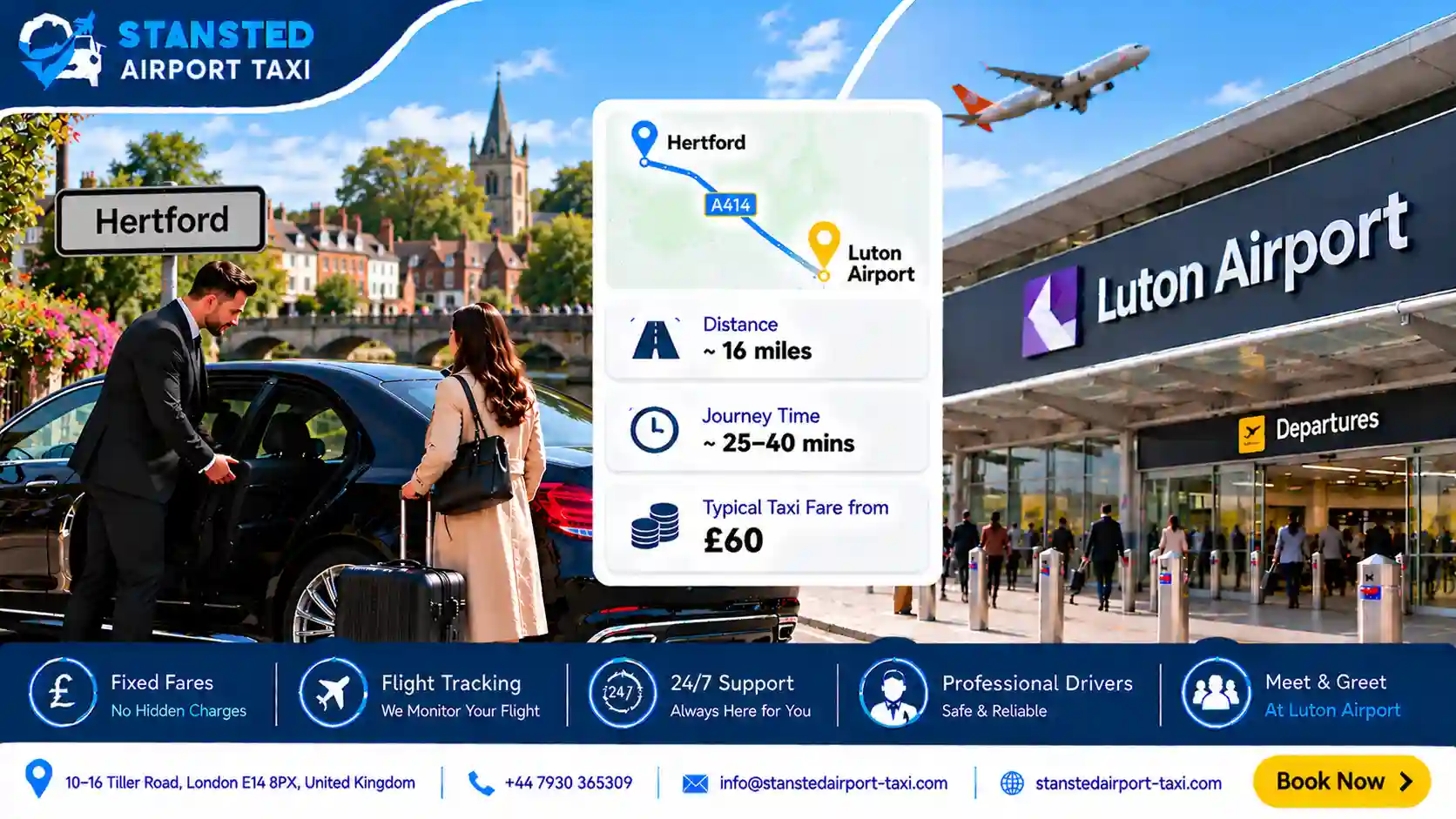
A taxi from Hertford to Luton Airport covers approximately 26 miles and takes around 35–50 minutes depending on conditions on t...
Read More chevron_right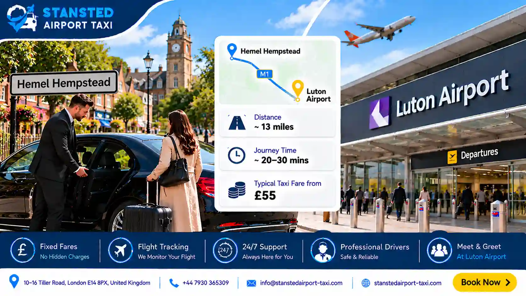
2026-10-23 03:28:11 • 5 min read
A taxi from Hemel Hempstead to Luton Airport covers approximately 12 miles and takes around 18–30 minutes depending on conditio...
Read More chevron_right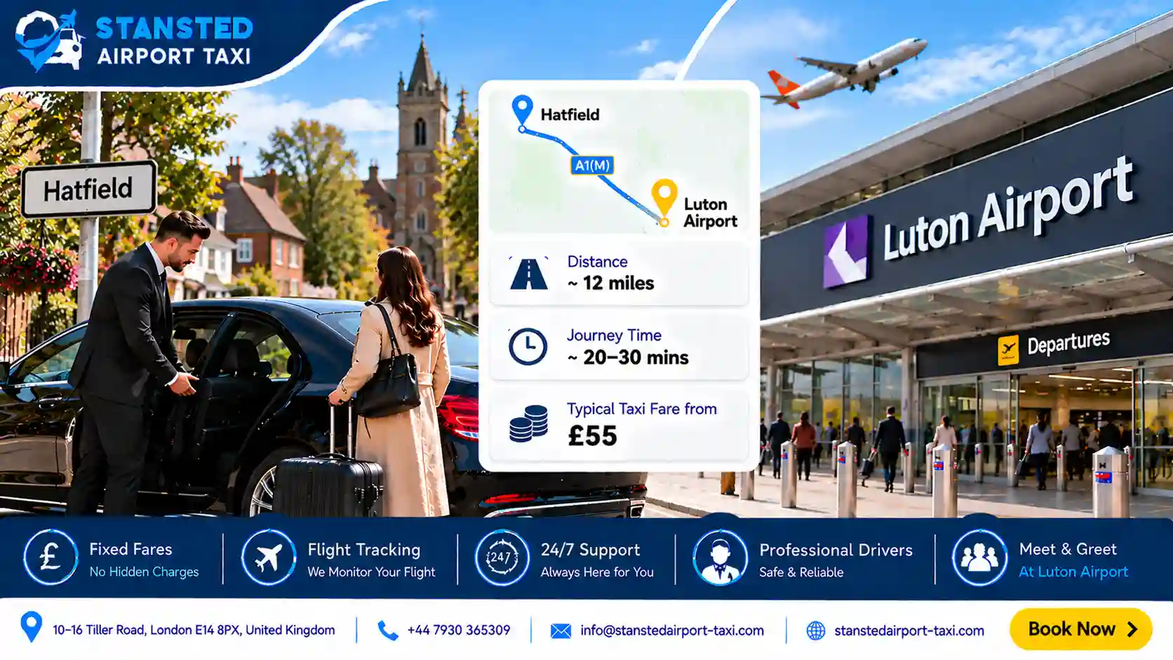
2026-10-23 03:20:06 • 5 min read
A taxi from Hatfield to Luton Airport covers approximately 14 miles and takes around 18–28 minutes depending on conditions on t...
Read More chevron_right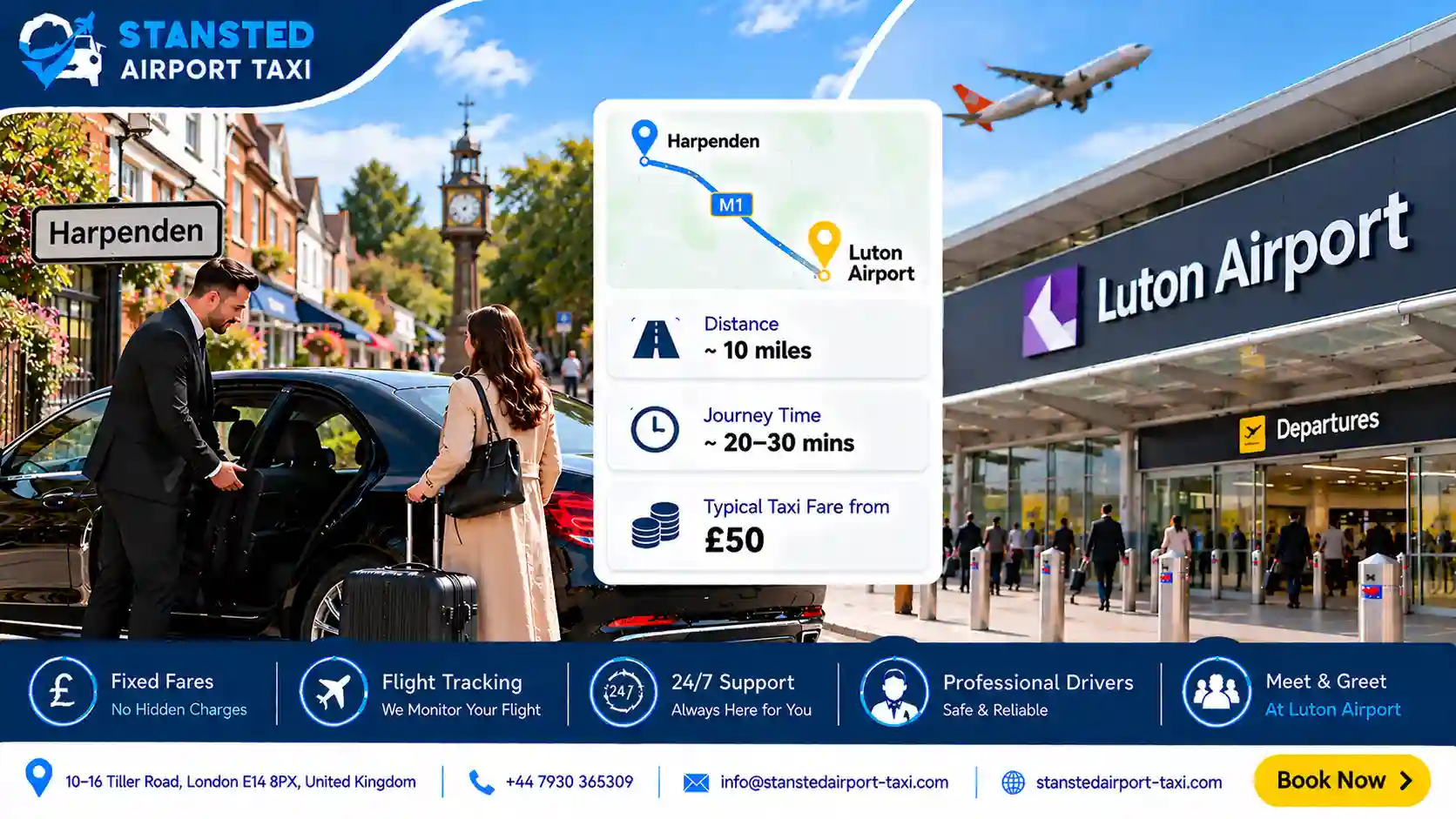
2026-10-23 03:05:20 • 5 min read
A taxi from Harpenden to Luton Airport covers approximately 7 miles and takes around 12–20 minutes on a clear run — makin...
Read More chevron_right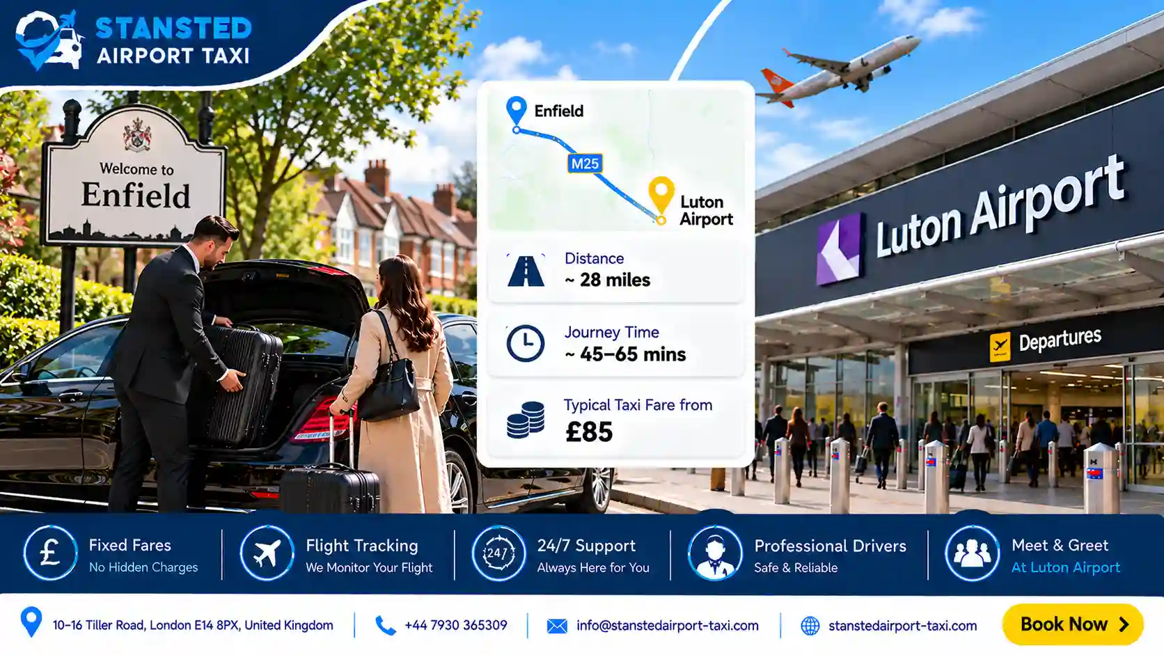
2026-10-23 02:35:48 • 5 min read
A taxi from Enfield to Luton Airport covers approximately 27 miles and takes around 35–55 minutes, depending on conditions on t...
Read More chevron_right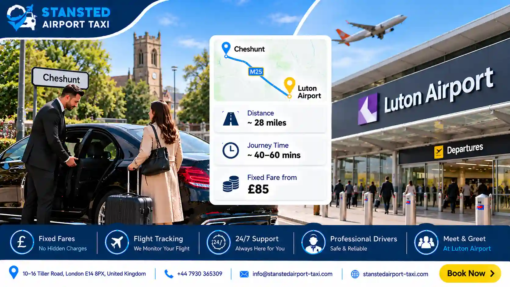
2026-10-23 02:32:00 • 5 min read
A taxi from Cheshunt to Luton Airport covers around 24 miles and takes approximately 30–45 minutes depending on traffic on the ...
Read More chevron_right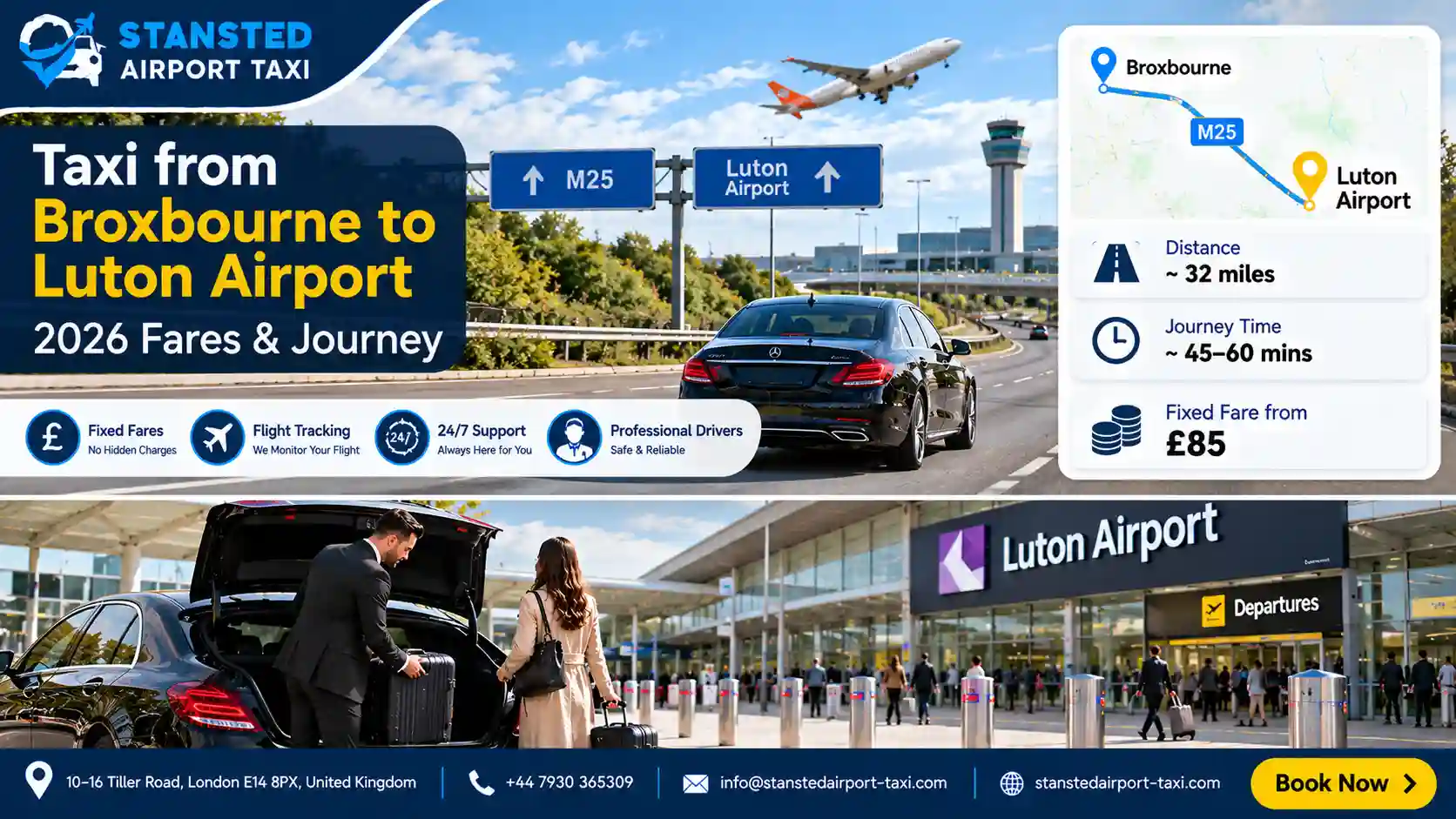
2026-10-23 02:25:37 • 5 min read
A taxi from Broxbourne to Luton Airport covers approximately 27 miles and takes around 35–50 minutes depending on traffic on th...
Read More chevron_right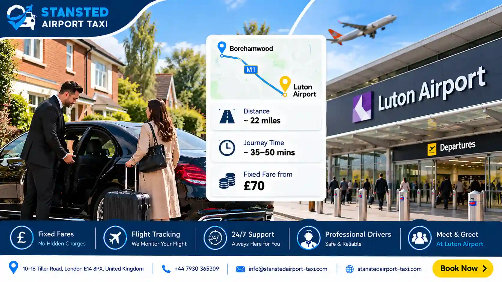
2026-10-23 02:14:17 • 5 min read
A taxi from Borehamwood to Luton Airport covers around 18 miles and takes approximately 25–35 minutes under normal traffic cond...
Read More chevron_right